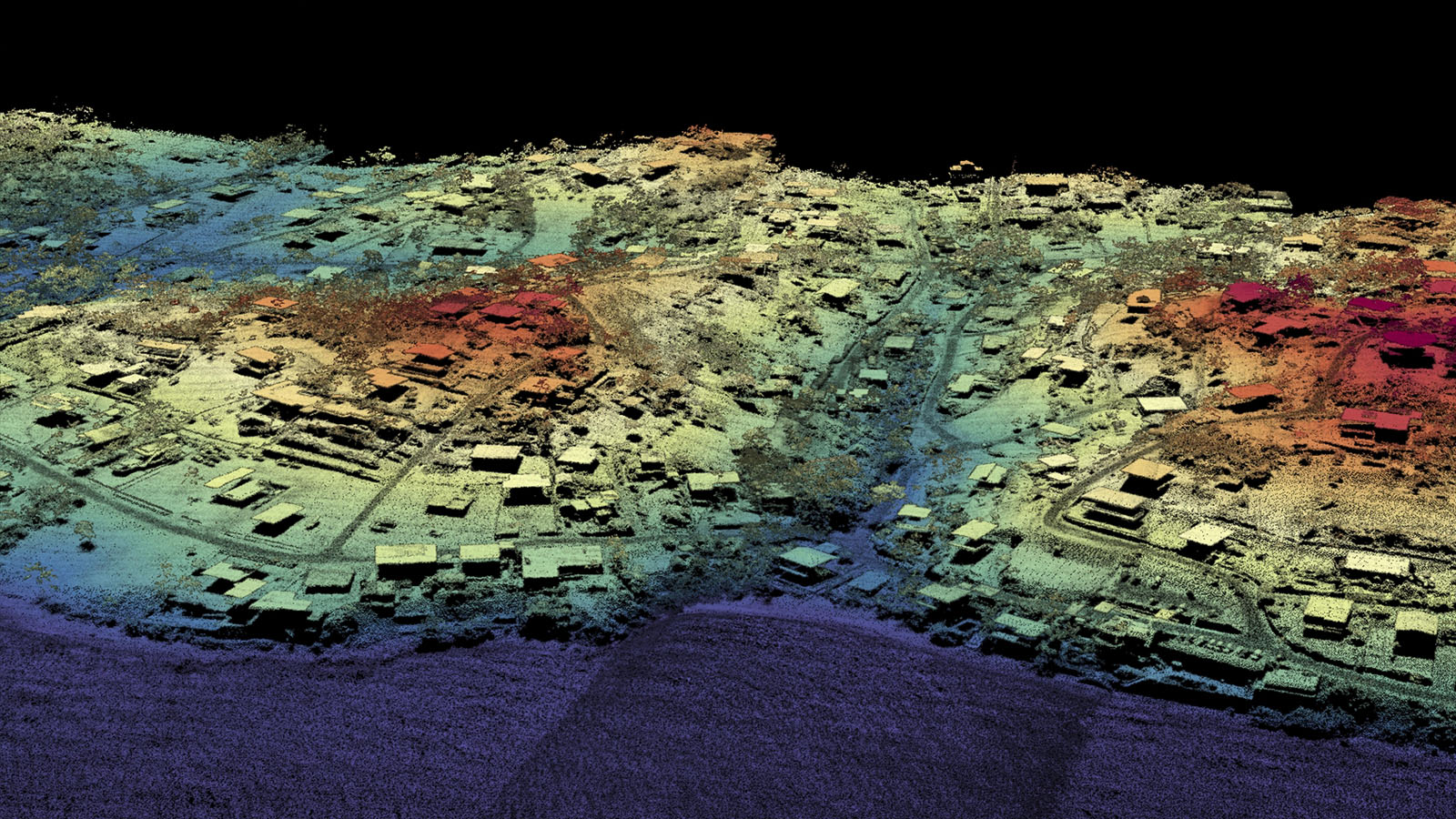

The Airborne Optical Systems Test Bed lidar system has been deployed to Houston, Puerto Rico and the Carolinas to aid in hurricane disaster assessment. Using data collected from recent disasters, algorithms have been developed that will extract road networks, perform path finding and routing around inaccessible roads, perform a level of road damage detection, and improve wide-area debris finding. A prototype framework has been created for ingesting and displaying all types of remotely sensed data. Various elements of the workflow that produces 3-D point clouds from the raw ranging measurements were modified, using the LLSC to perform computations.
