
(Live Booth Talk from SC20)
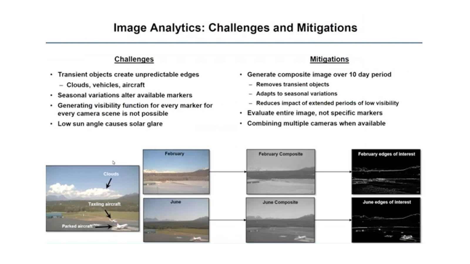
Visibility Estimation through Image Analytics (VEIA) is an algorithm to estimate the atmospheric visibility from weather camera images collected across Alaska. VEIA supports the General Aviation community in planning and executing safe flight across the vast and hazardous terrain in Alaska where there are sparse surface observation stations. The installation and operation of these camera systems was done by the Federal Aviation Administration to allow pilots to visually review the current weather conditions. The VEIA will allow the FAA to easily monitor the visibility and provide the results and/or warning of rapidly changing conditions to all those concerned.